
.
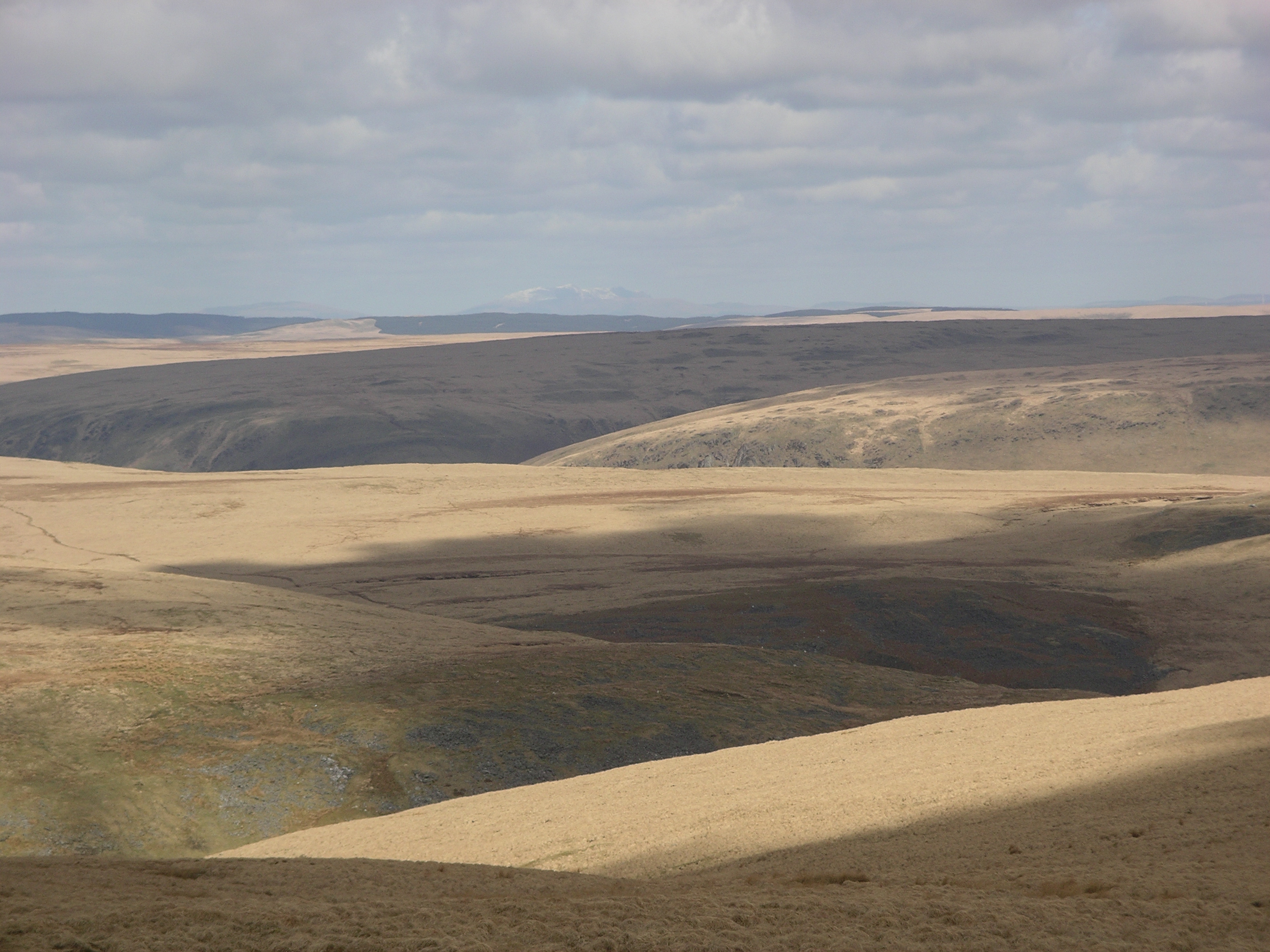
Moorland in the Desert of Wales as seen from the summit of Drygarn Fawr: photo by Velela, 29 March 2009
It was like a church to me.
I entered it on soft foot,
Breath held like a cap in the hand.
It was quiet.
What God there was made himself felt,
Not listened to, in clean colours
That brought a moistening of the eye,
In a movement of the wind over grass.
There were no prayers said. But stillness
Of the heart’s passions -- that was praise
Enough; and the mind’s cession
Of its kingdom. I walked on,
Simple and poor, while the air crumbled
And broke on me generously as bread.
R. S. Thomas: The Moor, from Pietà, 1966

Nant y Maen Waterfall: photo by OLU, 6 December 2006
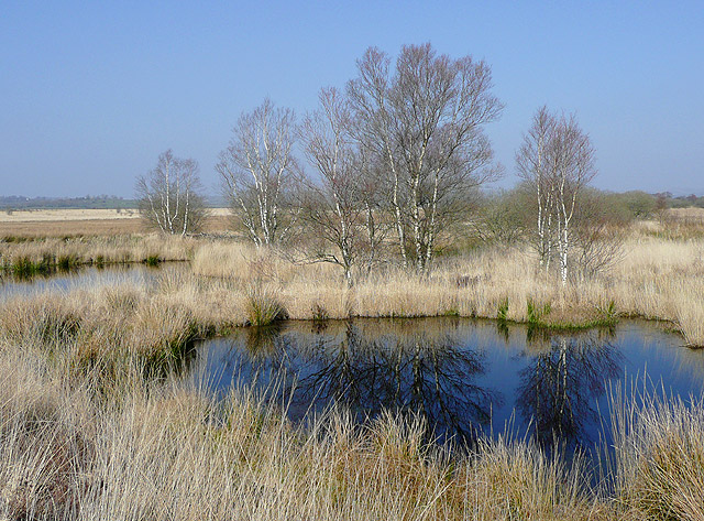
Cors Caron in March, near Tregaron, Ceredigion: photo by Roger Kidd, 20 March 2009

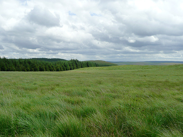
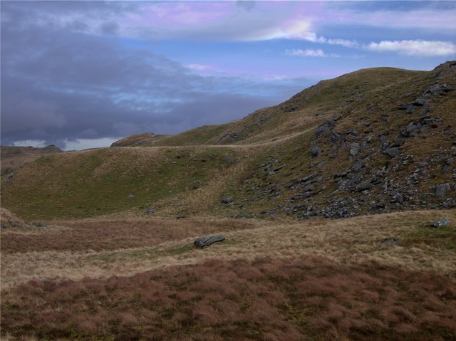
Tussocks tussocks tussocks. This literally is all there is in this square: tussocks of rough grass, some of it fairly dry (as in the centre of the pic), some more of the reedy sort (as pictured on the left). The land falls off towards the east and south to the source streams of the Afon Tywi. Tussocks!: photo by Rudi Winter, 12 April 2007
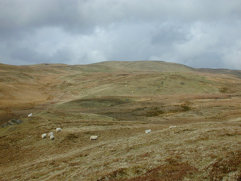
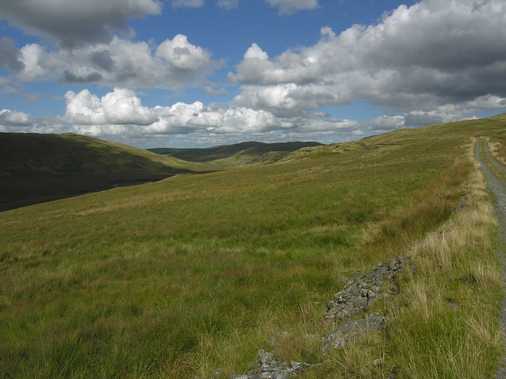
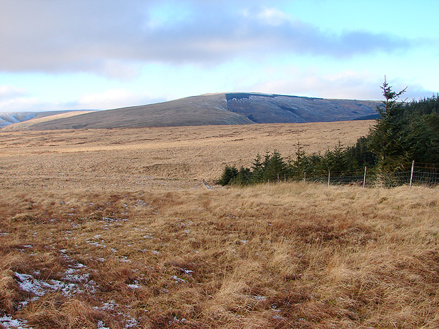
Moorland south of Llan Ddu Fawr. The moor climbs steadily towards Llan Ddu Fawr. With a bit of care, the few wet bits can be avoided: photo by Nigel Brown, 12 April 2004
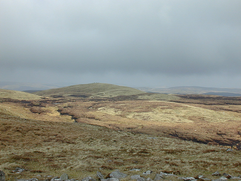
Moorland northeast of Llan Ddu Fawr (2). Looking towards Carnyrhyrddod from near the summit of Llan Ddu Fawr. The peat hags in the middle between the two can be avoided by following an arc to the left. The "Llan" in the name is a corruption of "Lan", short for "Glan", meaning hillside in this context: photo by Nigel Brown, 12 April 2004
Lower slopes of Plynlimon. The track which ends at Llyn Llygad Rheidol passes through typical moorland on the lower slopes west of Plynlimon: photo by Nigel Brown, 2 September 2005
Elenydd moorland west of Pysgotwr, Ceredigion. Beyond the nearby moorland and forest (on Llethr Gwyn) the terrain drops steeply into Cwm Pysgotwr: Photo by Roger Kidd, 13 July 2009
Elenydd landscape south of Llanddewi-Brefi, Ceredigion. Looking across the wide valley of Nant Clywedog-uchaf: photo by Roger Kidd, 18 July 2009

Elenydd Landscape from Carn Penrhiwllwydog, Ceredigion. Across the Doethie valley, the drovers' road climbs from left to right, on its way to Soar-y-Mynydd. To the right of centre, Nant y Benglog plunges down towards the Doethie Fawr. On the skyline to the left is the summit of Drygarn Fawr (height 641 metres -- 2103 feet) 7 miles distant (12.5km): photo by Roger Kidd, 18 September 2007

Elenydd Landscape from Bryn Mawr, Ceredigion. Much of the land here is now designated "open access", which is not to the liking of some landowners on the south side of the Doethie Fawr. Walkers are advised to comply correctly with access regulations in this area: photo by Roger Kidd, 18 September 2007
Edge of Tywi Fechan forest. Looking from the edge of the forest (which is a little north from where the map suggests due to felling) onto the open moorland to the south. The two parallel ridges are Cefn y Cnwc (centre) and Pen y Maen (right/west): photo by Rudi Winter, 24 March 2008
Disgwylfa. Standing on the bwlch between Craig y Pyllauduon and Disgwylfa and looking towards the head of Cwm Teifi. The grassy summit to the right is Disgwylfa, at 459m the highest point in the area: photo by Rudi Winter, 12 January 2008

Craig y Pyllauduon Looking from Craig y Frongoch towards Craig y Pyllauduon across the boggy valley from which the Nant Dderwen originates. Craig y Pyllauduon is probably named after the bog on its side -- the rock of the black pools. However, it's easy to circumnavigate the quagmire: photo by Rudi Winter, 12 January 2008

Berthgoed ridge. The small ridge on the side of this moorland plateau is shown on the 1:25k map as two parallel crags. There are a few rocks sticking out but most of it is covered in the usual grassland. The northern half of the square contains the steep south flank of Cwm Mwyro, the SW corner is part of Strata Florida forest. The remaining high ground is an undulating moorland plateau as shown here: photo by Rudi Winter, 12 April 2007
A view towards Waun Goch and Bryn Daith. Seen here from the south-west boundary of Hafren Forest. A right of way runs across the Waun Goch moorland and beneath the slopes of Esgair y Maesnant (out of view on the right), towards the old Bryn Daith mine: photo by OLU, 8 January 2009
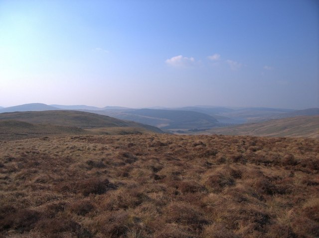
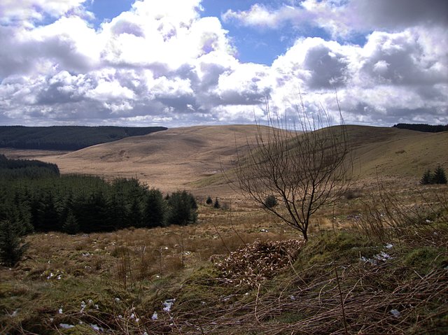
The Drybedd ridge. Looking along the ridge west of the summit of Drybedd. The pathless ridge fills the NE half of the square, with the Hirnant valley taking up the opposite corner. All of this is wild moorland used, if at all, for rough grazing. The Nant y Moch dam can be seen on the right in the distance: photo by Rudi Winter, 1 April 2007
Above Gwar-Cwm: photo by Chris Denny, 26 October 2008
No comments:
Post a Comment