
.

West half of Larger Soda Lake near Ragtown, Nevada: photo by Timothy H. O'Sullivan (1840 [?]-14 January 1882), from U.S. Geological Exploration of the Fortieth Parallel, under the command of Clarence King, 1867-1869 (U S. Geological Survey Photographic Library)
Went out so far beyond known
world's edge all that was left
upon the dry salt waste
our tracks
.............repeatedly
circling back

Near Steamboat Springs in Washoe Valley, Nevada: photo by Timothy H. O'Sullivan (1840 [?]-14 January 1882), from U.S. Geological Exploration of the Fortieth Parallel, under the command of Clarence King, 1867-1869 (U S. Geological Survey Photographic Library)

Sand dunes on the east of side of the Truckee Desert in Nevada: photo by Timothy H. O'Sullivan (1840 [?]-14 January 1882), from U.S. Geological Exploration of the Fortieth Parallel, under the command of Clarence King, 1867-1869 (U S. Geological Survey Photographic Library)
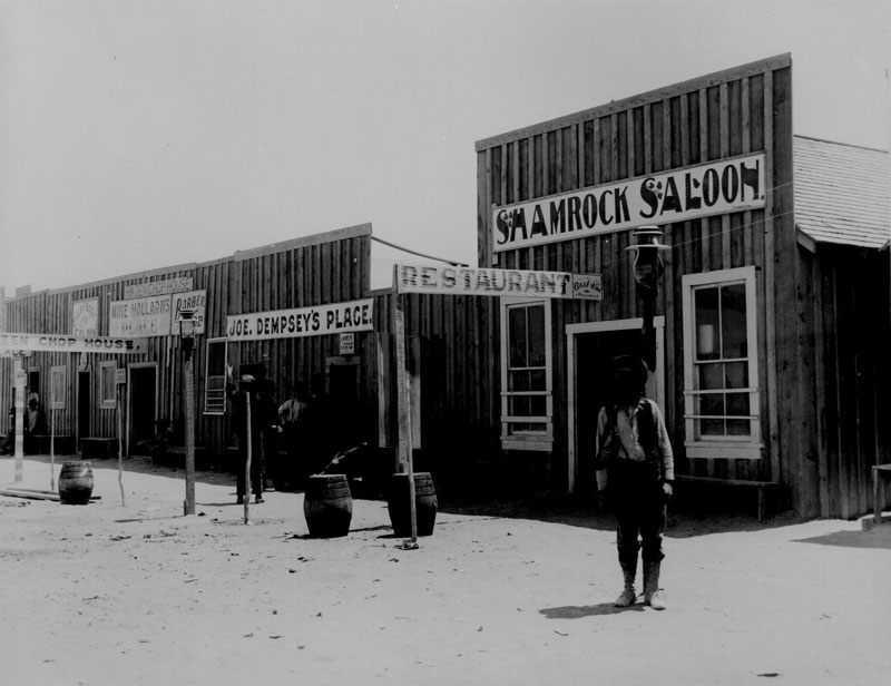
"Saloons and disreputable places of Hazen [Nevada], June 24, 1905": photo by Lubkin, from Series: Photographs of Irrigation Projects, 1896-1938; Records of the Bureau of Reclamation, 1889-1992 (National Archives and Records Administration)
No comments:
Post a Comment